
 |
Tabeguache Peak & Mt Shavano
|

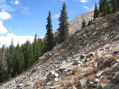
When we hiked Mt. Antero and Cronin Peak in July we kept looking at Tab & Shav to the south. There is a nice saddle between Tabeguache and Carbonate Mtn. that caught our eyes. It looked like we could take our ATV over the Antero/Cronin saddle and down into the valley and hike from there. We could cruise up the saddle between Tab/Carbonate, hike the ridge to Tab, then continue around to Shavano. The fall weather was still good, so we decided to give the route a try. We got some feedback from a few who have been over that way and next thing we knew we were taking the ATV over Antero and headed into the valley. We camped overnight in the trees, then started hiking with a little light in the sky so we could see to avoid the swamp. There wasn't a trail for most of the hike, but we were able to find a decent route around the swamp, then up and across the rocky ridge to Tabeguache. Tab to Mt Shavano wasn't very exciting so we decided to head back with a stop off at Pt 13,712. Pt 13,712 was another rocky peak, then it was a long slough off the mountains. We hardly saw anyone the entire day which was expected for this route. It was a long and kinda rough day, but we added 2 more 14ers to our list and hiked country that a lot of people never get to!
 Our camp spot in the trees |
 A marmot on the side of the trail |
 Scouting out our route before bed |
 Hiking around the swamp as the sun comes up |
 Traversing the rocky slope of Tabequache |
 Lindsey on the ridge |
 Looking back at the long, rocky traverse |
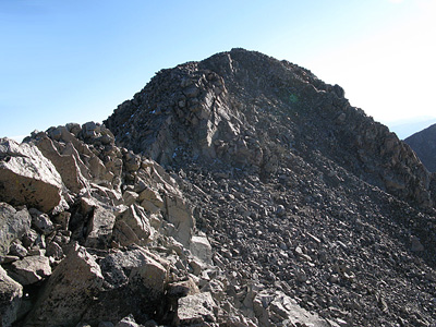
 Tabeguache Ridge |
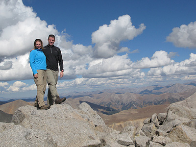
 Tabeguache Peak Summit! |
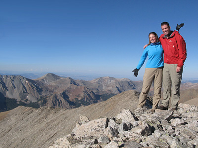 Happy to be on the summit |
 A view of Antero from the Tab/Shav saddle |
 Travis headed up Mt. Shavano |
 Tabeguache Peak from Mt Shavano |
 Mt. Shavano summit shot |
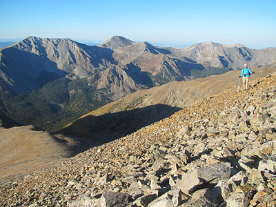
 Headed to Pt 13,712 (far right) |
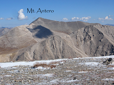
 Another view of Mt Antero to the north |
 Looking down the valley to where we started |
 A different view of Tabeguache Peak |
 Headed down the north slope |
 Skirting Tabeguache Peak |
 A look at the slope we came down |
 A shot of the mountains we hiked! |
 Panoramic view of our route |
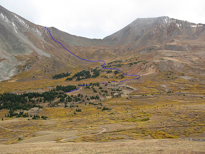
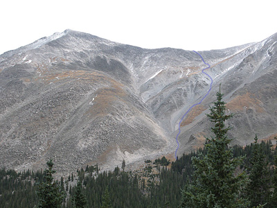
 The GPS route for our hike |
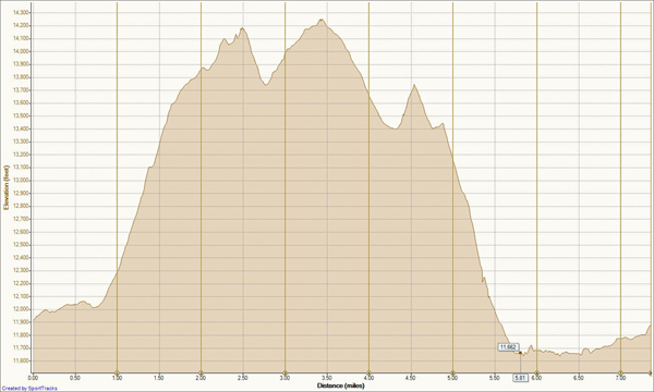 Final Elevation Profile |